At Cinquini & Passarino, Inc., we’ve watched land surveying evolve dramatically since our founding in 1954. Precision has always been at the heart of what we do.
Today, modern tools and digital systems allow us to deliver faster, more detailed, and more dependable results than ever before.
The Role of Technology in Modern Surveying
Land surveying is built on accuracy. For generations, surveyors relied on tools like chains, tape measures, compasses, and theodolites. These early methods established a strong foundation for the field, but they required extensive manual labor and offered limited data resolution.
Modern equipment and software have transformed how we measure, map, and model land. Today’s systems can capture millions of precise data points quickly, giving engineers, architects, and property owners the clarity needed to make confident decisions.
Global Navigation Satellite Systems (GNSS)
Global Navigation Satellite Systems (GNSS), including GPS, have become an essential part of accurate land surveying. When combined with Real-Time Kinematic (RTK) positioning, GNSS technology provides centimeter-level accuracy by correcting signal delays and atmospheric interference through fixed reference stations.
These new technology and tools allow surveyors to verify boundaries, establish control points, and integrate data seamlessly into larger engineering and mapping projects. Real-time adjustments also reduce the need for repeat visits, improving both efficiency and accuracy. The judgement and training of the survey team is still vitally important to ensure that the data is accurate.
Total Stations and Automation
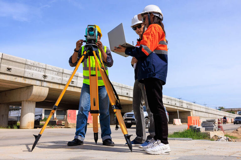
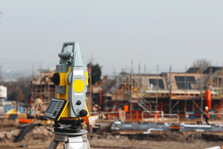
Total stations remain one of the most reliable instruments for high-precision land measurement. They combine distance and angle measurements to generate accurate 3D coordinates of any surveyed point.
Today’s robotic total stations have added automation and tracking capabilities that minimize human error. The system can follow the prism automatically, capture continuous measurements, and provide immediate feedback to the operator. These advancements are especially valuable for construction staking, topographic surveys, and complex job sites where precision and speed are equally critical.
Drone-Based Aerial Mapping
Unmanned aerial systems (sUAS), or drones, have revolutionized the way surveyors collect data. Using drones, our team can gather aerial imagery, digital elevation models, and geo-referenced data across large or hard-to-reach areas.
Drone technology helps us:
- Capture high-resolution mapping data quickly and safely
- Create detailed 3D terrain models
- Supplement ground-based measurements for greater accuracy
- Improve visualization for design and planning teams
With RTK or Post-Processed Kinematic (PPK) corrections, drone-based surveys can achieve centimeter-level precision, making them an ideal complement to traditional fieldwork.
3D Laser Scanning and LiDAR
Laser scanning and LiDAR (Light Detection and Ranging) represent another leap forward in survey data collection. These technologies use rapid laser pulses to collect millions of data points per second, creating highly detailed three-dimensional models of land and structures.
This approach provides unparalleled accuracy and detail for topographic surveys, construction verification, and architectural documentation. It also captures small elevation changes and intricate details that traditional methods might overlook.
By combining LiDAR data with GNSS and total station measurements, surveyors can produce complete and accurate visual representations of any site.
Advanced Software and GIS Integration
Data accuracy depends not only on how information is gathered but also on how it’s processed and interpreted. Geographic Information Systems (GIS) and specialized survey software allow us to integrate data from multiple sources, analyze results, and produce maps or models that clearly communicate complex information.
These systems make it possible to identify inconsistencies, compare as-built conditions with design plans, and ensure the final deliverables reflect true on-the-ground measurements. They also enhance collaboration between surveyors, engineers, planners, and contractors by keeping all stakeholders aligned on verified data.
The Benefits of Improved Accuracy
Technological advancements in land surveying provide real benefits for clients and project teams alike:
- Reduced errors and rework, saving both time and cost
- Faster project turnaround with fewer repeat visits
- More precise boundaries and elevations that prevent future disputes
- Better visualization tools for designers and decision-makers
- Increased confidence in every measurement and map
Accurate survey data forms the foundation for successful design, permitting, and construction. When every inch counts, dependable measurements make all the difference.
Continuing a Legacy of Precision
At Cinquini & Passarino, Inc., we blend decades of surveying expertise with the most advanced technology available. From GNSS and robotic total stations to drone mapping, LiDAR, and GIS systems, our goal is to deliver reliable, verifiable data that clients can trust.
As technology continues to evolve, our team remains committed to staying at the forefront of innovation. Accuracy has always been our standard, and it’s what continues to define our work today. When projects depend on precision, we make sure that every measurement matters.
If you’re planning a project and need dependable, professional survey data, contact our team to learn how we can support your goals with clarity and accuracy.