Starting a new construction project is exciting, but early planning matters. A professional land survey provides information needed to support permitting, design, and construction decisions.
At Cinquini & Passarino, we have seen how early surveying supports clearer decision making and helps projects move forward with fewer interruptions. Understanding what a land survey provides and why it matters before construction begins can help set realistic expectations from the beginning.
Why Land Surveys Matter for New Construction
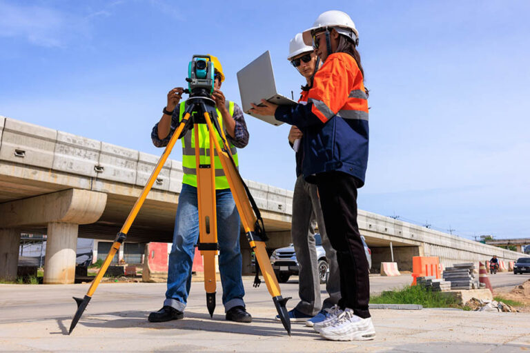
Architectural plans and engineering designs rely on precise site data. Land survey documents the physical and legal characteristics of a property, including boundary lines, easements, elevations, and visible site features. This information becomes a reference point for designers, contractors, and permitting agencies throughout the construction process.
Without accurate survey data, a project may encounter unexpected issues. These can include discovering that a structure has been placed too close to a property line, learning that a required setback was overlooked, or uncovering an easement after design work has already begun. Situations like these can require redesigns, cause permitting delays, or lead to disputes between property owners. A land survey completed early helps identify these concerns before they become obstacles.
Survey data also supports coordination among project teams. When architects, engineers, and contractors are working from the same verified site information, assumptions are reduced and communication improves. This shared understanding helps streamline planning and reduces the likelihood of revisions later in the project which may cause delays and additional expenses.
What a Land Survey Provides
A land survey is a detailed evaluation of a property based on field measurements, historical records, and legal descriptions. The type of survey required depends on the scope and purpose of the project, but each survey contributes to building a clear and accurate picture of the site.
Common survey services used for new construction include:
- Boundary surveys, which establish the legal limits of a property and help prevent encroachments
- Topographic surveys, which document elevation changes and existing natural or man-made features
- ALTA or NSPS land title surveys, often required for commercial developments or financing purposes
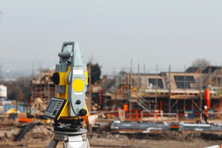
- Construction staking, which translates approved plans into physical reference points on the ground
Each of these surveys serves a specific role. Together, they provide the information needed to design structures that fit the site, comply with regulations, and align with long term property use.
What You Need Before Construction Starts
Preparing for a land survey early helps keep a project organized and efficient. Before construction begins, it is helpful to gather information that allows surveyors to complete their work accurately and in context.
We generally recommend having the following available:
- Property documents such as the deed and any prior surveys
- Preliminary site plans or conceptual drawings, if available
- A basic understanding of local zoning, setback, and permitting requirements
Providing this information helps ensure the survey aligns with the intended design and local regulations. It also reduces the likelihood that additional survey work will be needed later due to missing details or changing project scope.
How a Professional Survey Protects Your Project
A professional land survey plays an important role in managing risk. By identifying site conditions early, survey data helps project teams address potential challenges before construction begins.
Survey results can highlight existing easements or access rights that affect where structures may be placed. Elevation data helps designers understand drainage patterns and grading needs. Boundary verification supports compliance with zoning requirements and helps avoid costly corrections after construction has started.
Addressing these factors early allows decisions to be made with greater certainty. When potential issues are identified at the planning stage, solutions are typically easier to implement and less disruptive to the overall timeline.
Working With an Experienced Survey Team
At Cinquini & Passarino, we provide land surveying services that support residential, commercial, and public projects throughout Northern California. Our licensed professionals use established surveying methods and modern technology to deliver accurate, dependable results that design and construction teams can rely on.
We collaborate with architects, engineers, and contractors to ensure survey data integrates smoothly into the project workflow. From initial site analysis to construction staking, our focus is on providing clear, reliable information that supports informed planning and precise execution. Collaboration involves providing survey data in the formats most helpful for your design team, and sometimes we supply it in several formats to make sure every team receives the information they need.
Start Your Project with Confidence
A successful construction project begins long before equipment arrives on site. Securing a professional land survey early helps establish clarity, supports permitting, and reduces the risk of delays once work is underway. Accurate survey data allows project teams to move forward with confidence, knowing that design and construction decisions are grounded in verified information.
If you are planning a new build and want survey data you can trust, we are here to help. Contact Cinquini & Passarino to discuss your project needs and learn more about how professional land surveying can support a smooth and well-informed start to construction.