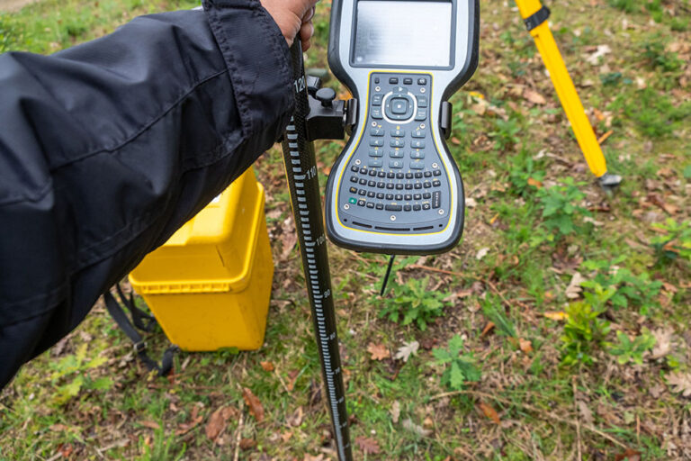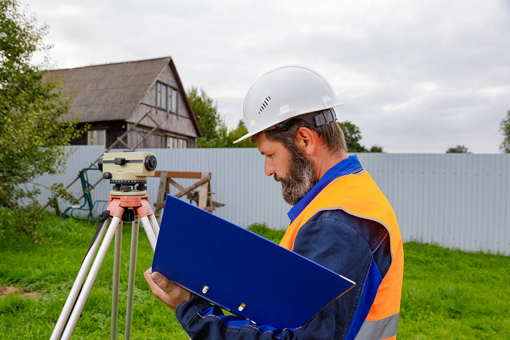
A property boundary survey is a professional evaluation used to determine the legal limits of a parcel of land. A licensed land surveyor reviews deeds, recorded maps, prior surveys, and physical evidence before locating the property limits and identifying or reestablishing its corners.
Property owners may need a boundary survey before:
• Installing or replacing a fence
• Building an addition, garage, or accessory structure
• Planning improvements near a property line
• Purchasing, selling, or dividing land
• Addressing a possible encroachment or neighbor disagreement
When asking, “What is a property boundary survey?”, remember that it does more than measure the visible yard. Fences, hedges, driveways, and walls do not always follow legal parcel lines. A survey provides a professional opinion based on fieldwork, records research, and an analysis of the available boundary evidence.
Understand Your Property Before Making Changes
At Cinquini & Passarino, Inc., we help property owners obtain reliable information before making decisions about their land. Even a straightforward project can become complicated when the location of a boundary is uncertain.
Assessor maps, online parcel viewers, and existing fences may offer general context, but they are sometimes misleading and not substitutes for a professional survey. Confirming the legal parcel limits early can help owners plan improvements with greater confidence and identify concerns before construction begins.
What Does a Property Boundary Survey Confirm?
A boundary survey combines record research with measurements taken at the site. The surveyor does not rely on a fence, a single map, or one property description. Instead, multiple forms of evidence are compared to determine how the parcel is legally defined.
Depending on the property and project, the work may include:
- Reviewing deeds, recorded maps, and prior surveys
- Researching neighboring parcels when relevant
- Searching for existing monuments and other physical evidence
- Measuring parcel corners and visible occupation lines
- Evaluating differences between records and current site conditions
The deliverable depends on the agreed scope of work. It may include marked property corners, a survey map, or other documentation showing the surveyor’s findings.
The process can also reveal that a fence, wall, driveway, or landscaping feature does not align with the legal boundary. These differences do not automatically determine ownership, but they may warrant additional review.
When Might a Property Owner Need a Survey?
Not every home improvement requires the same level of surveying. However, a survey can be valuable when proposed work is close to an adjoining parcel or depends on accurate land information.
Common projects include:
- Fences and retaining walls
- Room additions and detached garages
- Driveways, walkways, and patios
- Accessory dwelling units and backyard structures
- Landscaping, drainage, and utility improvements
Accurate boundary information can help engineers, architects, designers, contractors, and owners understand the space available for a project. It may also support the evaluation of required setbacks, although zoning standards are established by local agencies rather than by the land surveyor.
A property purchase is another common reason to request a survey. Buyers may want a clearer understanding of the land included in the transaction, particularly when corners are not visible or neighboring improvements sit close to the apparent line.
How Boundary Surveys Support Fences and Remodels
An existing fence may appear to mark the edge of a property, but its placement could reflect terrain, convenience, an informal agreement, or construction completed without a survey. Replacing a fence in the same location does not confirm that it follows the legal boundary.
Surveying before installation gives the owner and contractor a dependable reference. This can reduce the risk of placing permanent materials on neighboring land or unintentionally enclosing less property than expected.
The same principle applies to remodels and additions. A garage, room expansion, or accessory structure may need to remain a certain distance from the parcel line. Confirming the boundary allows the project team to evaluate the site before plans and construction progress too far. Addressing the survey early may prevent redesigns, relocation costs, or disputes after work has begun.
Can a Survey Help With a Property Dispute?
Questions between neighbors sometimes arise when a fence is replaced, vegetation is removed, or work begins near a shared boundary. When each party has a different understanding of the property line, relying on assumptions can increase tension.
A professional survey can clarify:
- Whether an improvement crosses a parcel line
- Where a shared feature sits in relation to both properties
- Whether visible occupation differs from recorded information
- Which issues may require title or legal review
A land surveyor evaluates and documents boundary evidence but does not decide ownership disputes or provide legal advice. Matters involving easements, competing claims, or litigation may also require assistance from a title professional or real estate attorney.
Knowing this distinction helps property owners seek the right support for the situation.
What Should You Share With Your Surveyor?
Clear information helps the surveyor understand why the work is needed and recommend an appropriate scope. The requirements for a fence project may differ from those for a real estate transaction, remodel, or active boundary concern.
Be prepared to provide:
- The property address and parcel information
- The purpose of the survey
- Details about planned construction or improvements
- Known concerns involving fences, structures, or neighboring land
- Available deeds, title documents, maps, or earlier surveys
- Relevant permitting requirements or deadlines
Explaining how the results will be used can also help define the research, fieldwork, monumentation, mapping, and documentation required for the assignment.
Make Property Decisions With Reliable Information
A property boundary survey gives owners a professional foundation for decisions involving fences, construction, purchases, improvements, and possible encroachments. Rather than relying on landscaping, online maps, or assumptions, the owner receives information developed through records research, field measurements, and boundary analysis.
Cinquini & Passarino, Inc. provides land surveying services for property owners throughout Santa Rosa, Healdsburg, Napa, Oakland, and surrounding Bay Area communities. Contact our team to discuss your property and the surveying support your project may require.